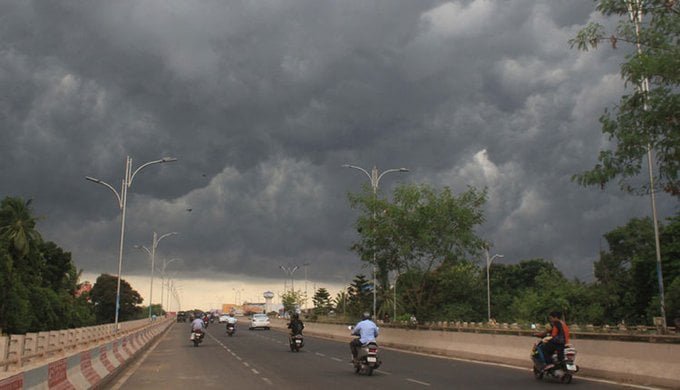
Bhubaneswar: A low pressure area has formed over central and adjoining North Bay of Bengal and it is likely to become more marked and move northwestwards towards Odisha coast during next 2 days, the India Meteorological Department (IMD) informed on Thursday.
Under its influence, isolated extremely heavy rainfall is likely in South Odisha on July 19. Very heavy rainfall is also predicted at some places in the state from July 19-20 with isolated heavy rainfall during the next 5 days, according to the weather bulletin.
Notably, rainfall activities in the state had intensified after formation of a low-pressure zone northwest of the west-central Bay of Bengal, off the South Odisha coast on July 15. The prolonged rainfall amid two back-to-back systems is expected to bring down the deficit percentage in the state.
More than half of the districts have recorded deficit rainfall this monsoon season so far, while there is also a decline in cumulative rainfall by 27 per cent till July 18. As many as 16 districts are experiencing deficit rainfall in the range of -59 per cent to -20 per cent. The rainfall is severely deficit in Balasore which has recorded 60 per cent departure from the normal during this period.
Seasonal cumulative rainfall recorded from June 1 to July 18 is 288.3mm against its normal value of 394.1mm.


Comments are closed, but trackbacks and pingbacks are open.